Mapping the Miners’ Smallholdings
We have been working with the World Heritage Site (WHS) and Exeter University to map the mineworkers’ smallholdings in the Valley to inform the WHS Management Plan. During the mining boom in the Valley, some mineworkers were given land to grow their own vegetables, but there isn’t a clear picture of where these plots are. We hope to have this all mapped out in the Autumn.
Gunnislake Clitters Mine Conservation Management Plan Completed
We have been working with the World Heritage Site (WHS) and Exeter University to map the mineworkers’ smallholdings in the Valley to inform the WHS Management Plan. During the mining boom in the Valley, some mineworkers were given land to grow their own vegetables, but there isn’t a clear picture of where these plots are.
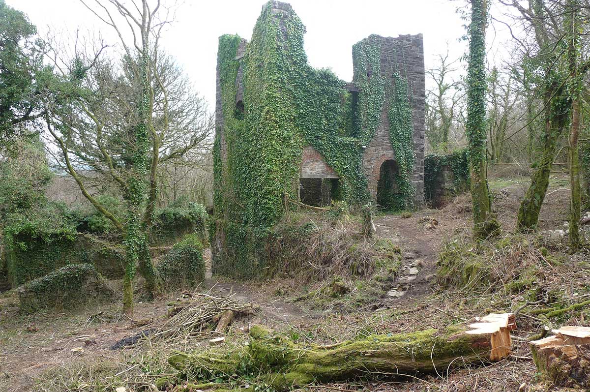
Work has also continued with Historic England across the five mining sites in the Valley – Gunnislake Clitters Mine; New Consols Mine; Okel Tor Mine; Holmbush Mine and Tamar Canal Lock, and we now have a completed Conservation Management Plan for Gunnislake Clitters Mine. The plan has prioritised and costed the work that needs to take place to consolidate the mine, which is a scheduled monument in the World Heritage Site (WHS). We will now work with the landowner and Historic England to agree next steps.